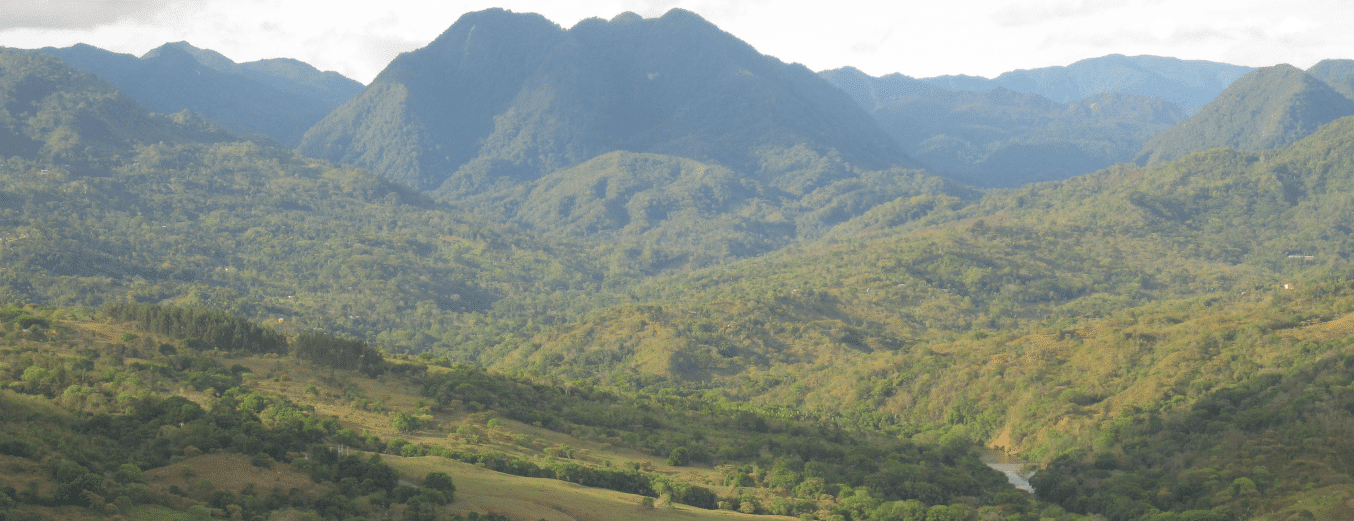
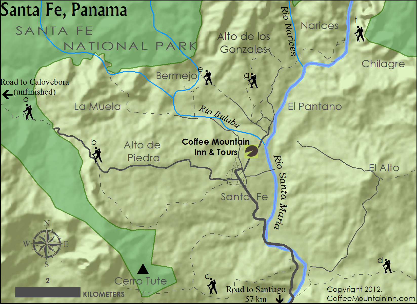
Santa Fe is a beautiful place. Below is a map of some of the local attractions in the region
- a – Road to Calovebora: Paved Road for 5 miles – goes through rainforest. Minimal traffic – good for walking. (pic)
- b – Alto de Piedra Waterfall: Series of 3 waterfalls. 20 minute walk to first waterfall. (pic)
- c – Cerro Tute: Views. 5 hour hike or a 20 minute 4×4 ride. (pic)
- d – El Alto area / El Salto Waterfall. Views. Waterfalls 3 hour hike from trail/road (pic)
- e – Bermejo Waterfall. 45 minute hike from trailhead. Large falls, slippery rocks. (pic)
- f – Narices/Chilagre River and National Park. Hike up the river to the continental divide (or the Caribbean – 2 days) (pic)
- g- Alto de los Gonzales: Scenic views of tropical forest, coffee farms and villages. (pic)


